 |
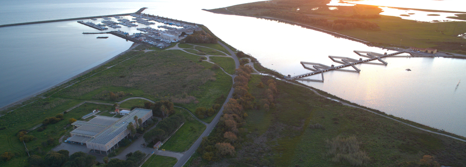
The Group of Operational Oceanography of the CNR in Oristano developed coastal models for currents and waves in the seas around Sardinia and in the Strait of Sicily and several other models for impact assessments of infrastructures at sea, for the management of coastal areas and ports, but also for the management of emergencies at sea as an oil spill, sometimes nested to sub-regional scale models. | 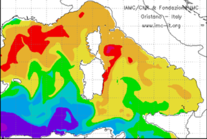 |
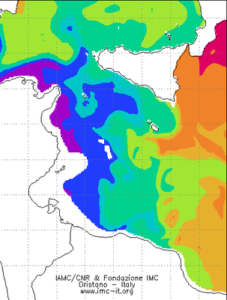
A system currently operating at coastal scale is implemented in the Strait of Bonifacio and the Archipelago of La Maddalena, northern Sardinia. Here the numerical simulation of coastal circulation provides two days of estimates, up to a maximum of 3 days in steps of 6 hours, of the barotropic current velocity also inside the Archipelago in very shallow waters. The heart of the forecasting system is the SHYFEM, a validated and calibrated finite element numerical model (Ferrarin et al., 2004, Cucco et al., 2006). This model correctly reproduces tide and ocean circulation caused by the local winds and is applied with its 2D version with the aim of reproducing the barotropic current velocity. Numerical simulations are carried out on a computational domain that represents the area through a distributed grid finite element . The numerical grid consists of 40000 nodes and 70000 triangular elements and is characterized by a spatial resolution ranging between 10 meters for smallest channels inside the Archipelago of La Maddalena, to a few kilometers in the area of open sea inside and outside the Strait of Bonifacio. Actually weather data are provided by atmospheric simulations by the numerical atmospheric high resolution model called SKIRON, realized by the Athens University.
Further updated information are visible on www.seaforecast.cnr.it.