The acquired data and interpretative products, available to the operative unit of the IAMC of Oristano in the sector “Coastal Sedimentology and Morfodynamics”, are organized in this database as metadata. Such data are of a multidisciplinary nature and require an organization in layers and information levels suited to their hierarchy and facilitating searchability by topic and key words. The diversity of the formats and structures of the data requires ratification and simplification of some structures. This doesn’t imply a limited representation of the available informative material, but improves availability and comparability.
The database will also include monitoring data that are inserted following progressive new data acquisitions. The metadata compilation with key words follows the European Union decree “Inspire“.
The informative material included in the archive is organized in main informative layers (S.n) that represent the following: previously available data (derived from state units such as territorial management, regional organization, etc) or projects executed by other research units (ISPRA, the environment ministry, etc), acquired data (sampling campaigns, topographical profiling, bathymetry, geophysical data, etc) and interpretative maps (thematic cartography, geology, geomorphology, etc). Every informative layer contains thematic sub layers, corresponding to the necessity of division in the representation of the data. The database is available in this geoserver (SK-IAMC-Oristano, realized in the framework of the “RITMARE” project).
The database structure is as follows:
S.1.2. Admistrative boundaries
S.1.3. Boundaries of parks and marine protected areas
This layer contains the various administrative levels of territorial management regarding the territory above and below sea level in the sector of interest. The data are acquired from the Sardinia Region Geodatabase.
S.2.2. Specific multibeam coverage
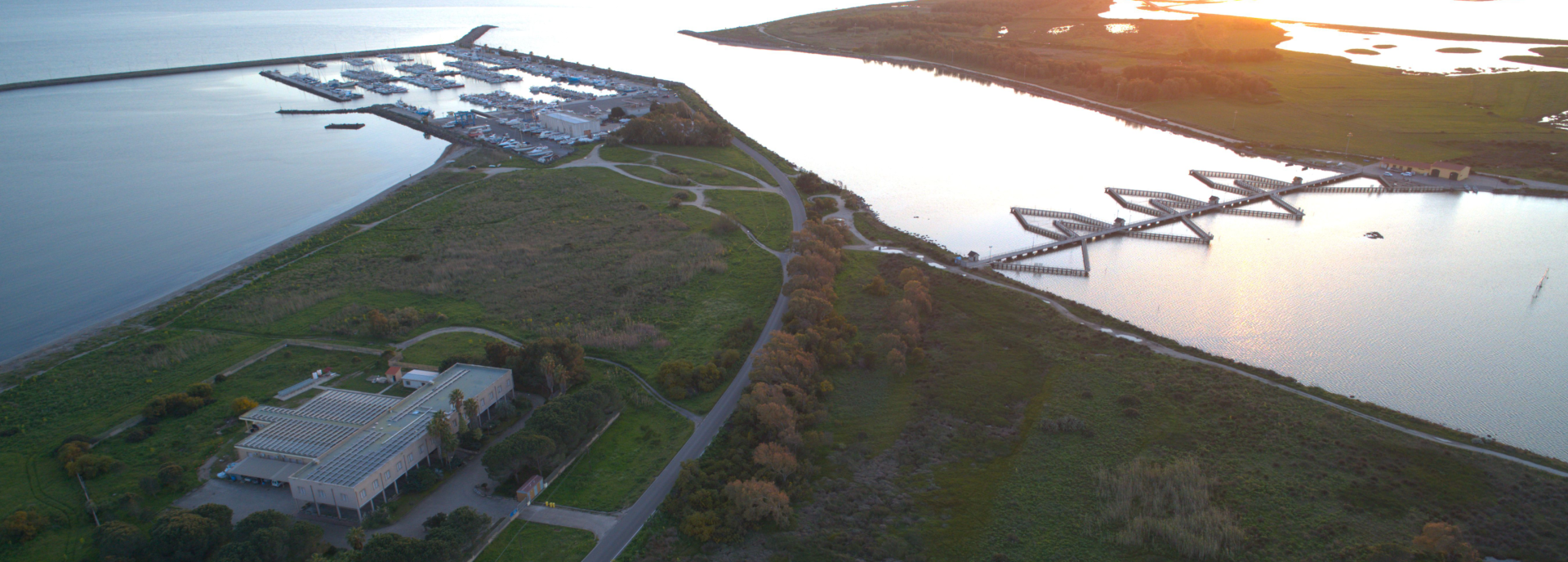
The layer represent topographic base of marine areas in study and provide morphologic data of submerged areas and emerged beach, where available. The batymetry is produced by Multibeam Echosounder surveys, acquired by IAMC since 2007, in the frame of “Magic” and “Ritmare” projects. Multibeam coverage layers provide survey areas and additional information like acquisition date, survey cruise, MBES type, resolution etc. The isobaths layer shows isolines elaborated by digital elevation model, acquired in 1:25000 scale, isobath are rappresented every 10 m of depth down to -150 m, over are represented every 50 m.
S.3.1. Dynamic cells
S.3.2. Geology
S.3.3. Sedimentology
S.3.4. Geomorphology
S.3.5. Bedform
S.3.6. Biocenosis
S.3.6.1. North and West Sardinia seagrass
The mapping layer provide database of data interpretation maps. Maps details are related to the scale functional to beach evolution process study. The sub layers shows:
S.3.1. dynamic cells as morphologic zones distinguished by sediment transport process, deposition and evolution trend. This layer provide an evaluation synthesis of annual monitoring data acquiring.
S.3.2. mapping of geologic and lithologic data of bedrock and soft sediments.
S.3.3. sedimentological analysis interpolation.
S.3.4. geomorphological interpretation elaborated by sampling, dive, morfobathimetric and morfoacustic data.
S.3.5. active or fossil bedforms mapping.
S.3.6. biocenosis mapping; maps and data are elaborated by IAMC project and other research institution.
S.4.1. Idrodynamic models
This layer provide numerical models (S.4.1) ed wind data monitoring (S.4.2.).
S.5.1. Beach profile monitoring
Questo strato riporta il monitoraggio dei profili topografici di spiaggia eseguito stagionalmente e le misurazioni di altezza d’onda realizzate per 14 mesi da una stazione ondametrica.
S.6.2. Patella ferruginea
S.6.2. Biocenosis
S.6.2. Fish
S.7.1. Backscatter coverage
S.7.4. ROV dives
This layer provide geophysical data information, geoacustic data (backscatter survey) and seismoacustic (subbottom chirp or sparker profile). Metadatas collect navigation information, date, cruise and project.
This layer provide metadata of sampling and sedimentological analysis acquired and/or available to IAMC in the frame of many project (RAS2, SALVA, SIGLA, VULCOST, MAGIC, RITMARE, BANCO DI SARDEGNA 2010-11, PALE EOLICHE). Sampling has been acquired in beach dynamic environment and continental shelf; metadata contains in the attributes general sampling information (sampling type, sampling project, description end textural classification (Folk 56) and compositional analysis available.